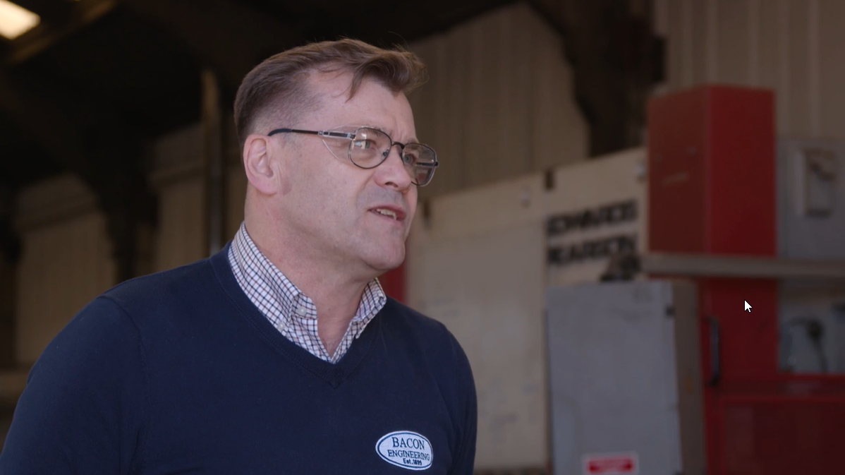

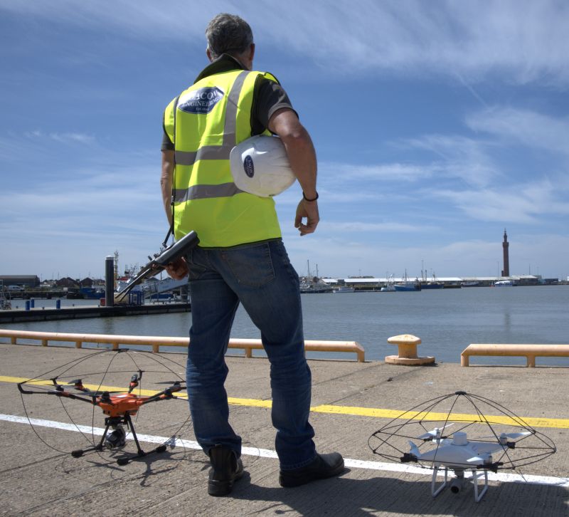
At Bacon Engineering, we are always looking for ways to improve our services and provide our clients with the best possible solutions. That’s why we’re excited to announce our new Drone and Laser Scanning Service, which enables us to provide survey, inspection, mapping and reality capture services with a bespoke engineering support solution.
This new service will allow us to collect data more efficiently and accurately, while also reducing costs and turnaround times. We believe this new service will be a valuable addition to our existing suite of services, and we are excited to offer it to our clients.
How Our Drone and Laser Scanning Service Works
Our Drone and Laser Scanning Service utilises the latest drone technology to collect data quickly and accurately. The drone is equipped with a high-resolution camera and laser scanner, which enables us to capture detailed images and 3D models of the site.
Once the data has been collected, our team of engineers will process it and create a bespoke report which can be used for various purposes, such as surveying, inspections, mapping or reality capture.
This new service provides a number of benefits over traditional methods, such as reduced costs, shorter turnaround times and increased accuracy. We believe this new service will be a valuable addition to our existing suite of services, and we are excited to offer it to our clients.
If you are in need of survey, inspection, mapping or reality capture services, then we encourage you to get in touch with us to find out how our new Drone and Laser Scanning Service can help you. Our team of experts will be more than happy to discuss your specific requirements and provide you with a tailor-made solution that meets your needs. Contact us today to find out more!